Lecturer and Researcher at Université Versailles Saint Quentin and Member of Climate and Environmental Sciences Laboratory
Key takeaways
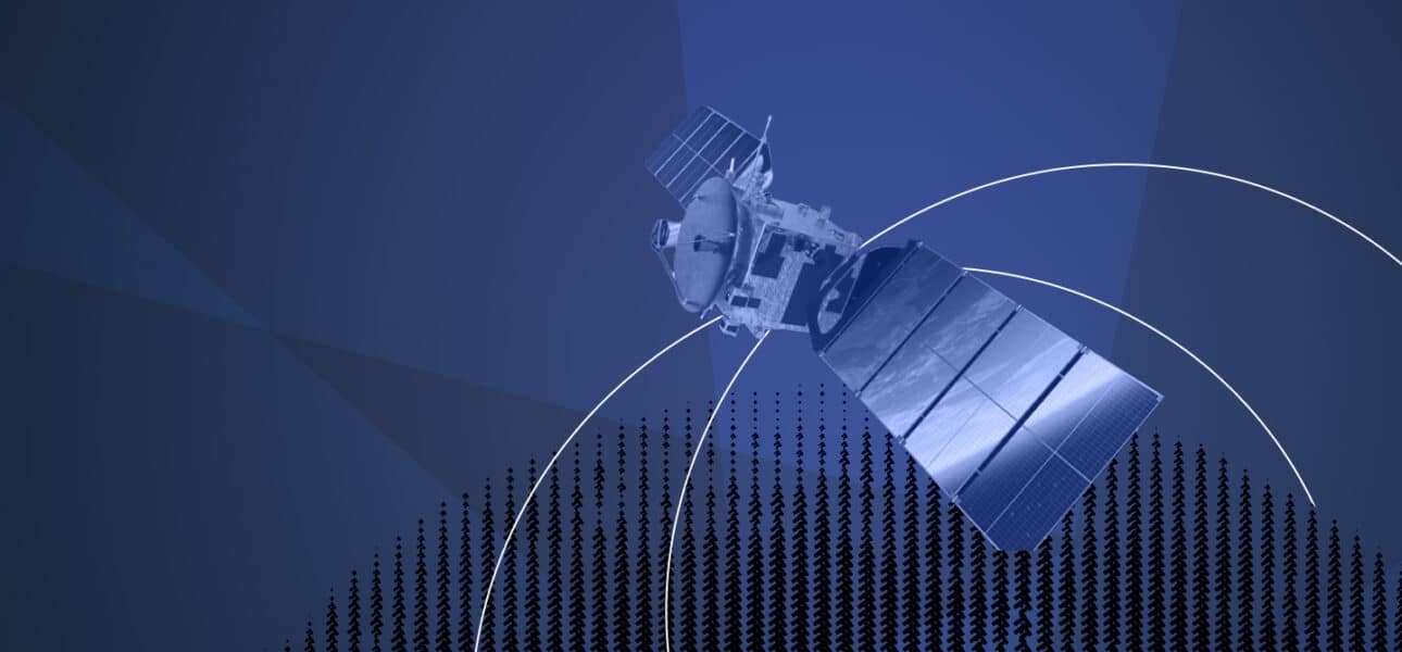
Some countries in the world are home to “super-emitters”, i.e. industrial sites that release large amounts of methane.
Satellite data now makes it possible to measure methane leaks independently, without relying on industry estimates.
In 2022, scientists revealed significant methane emissions using TROPOMI data; two-thirds of the events are related to oil and gas production.
In 2018, a team pointed out that emissions from the oil and gas sector in the United States exceeded those estimated by the Environmental Protection Agency by 60%.
However, the effectiveness of satellites can be hampered, for example, by limited spatial resolution or atmospheric interference.
Interministerial Coordinator for France on IRIS² and GOVSATCOM
Key takeaways
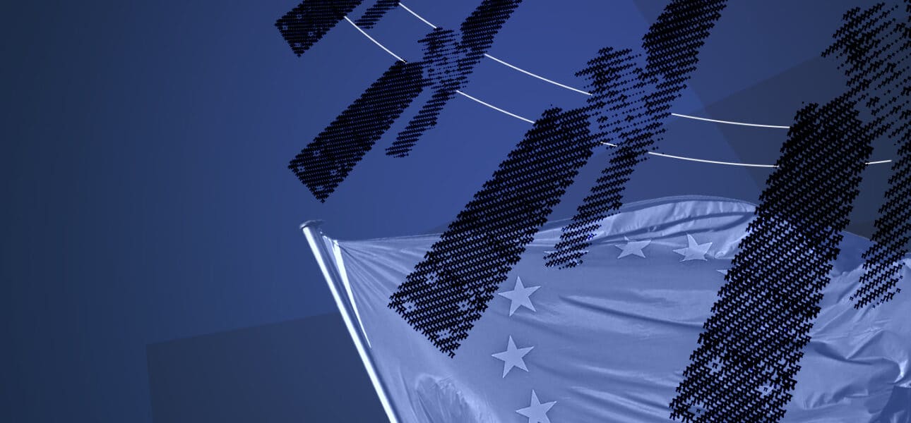
Europe will be deploying the IRIS2 constellation of telecoms satellites in 2030 to avoid relying on non-European players for its strategic or governmental needs.
IRIS2 will comprise 264 satellites in low orbit and 18 satellites in medium orbit, so it is not a mega-constellation like Starlink or Kuiper.
The technological challenges facing the project include securing it and developing innovative electronic miniaturisation for Europe.
While the strategy put in place by IRIS2 aims to limit the proliferation of debris in Earth orbit, players like Starlink are raising concerns in this area.
Faced with the United States' desire to exert an economic stranglehold on Europe, the latter needs autonomy, which means developing its own space tools.
CNRS Research Engineer at Centre d'Études Spatiales de la Biosphère
Veronika Antonenko
Research Engineer at Centre d'Études Spatiales de la Biosphère
Key takeaways
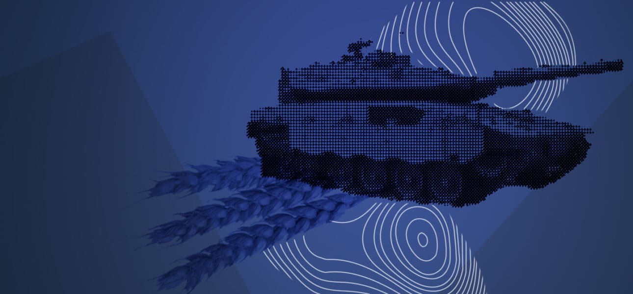
The war in Ukraine has had an impact on wheat yields, a fact demonstrated by satellite data in two regions: Poltava and Kherson.
In 2022, wheat yields fell by 20% in the Kherson region (which was invaded by the Russian army) compared to previous years, while they remained stable in Poltava (which was far from the front).
Two main factors explaining the impact of the Russian army on yields are limited access to plots of land and the consequences of the war on farmers.
This data comes from the Sentinel-2 satellites, launched as part of the European Earth observation and monitoring program, Copernicus.
The weather does not seem to be a factor in explaining the fall in wheat crop yields.
Graduate Researcher at Massachusetts Institute of Technology
Key takeaways
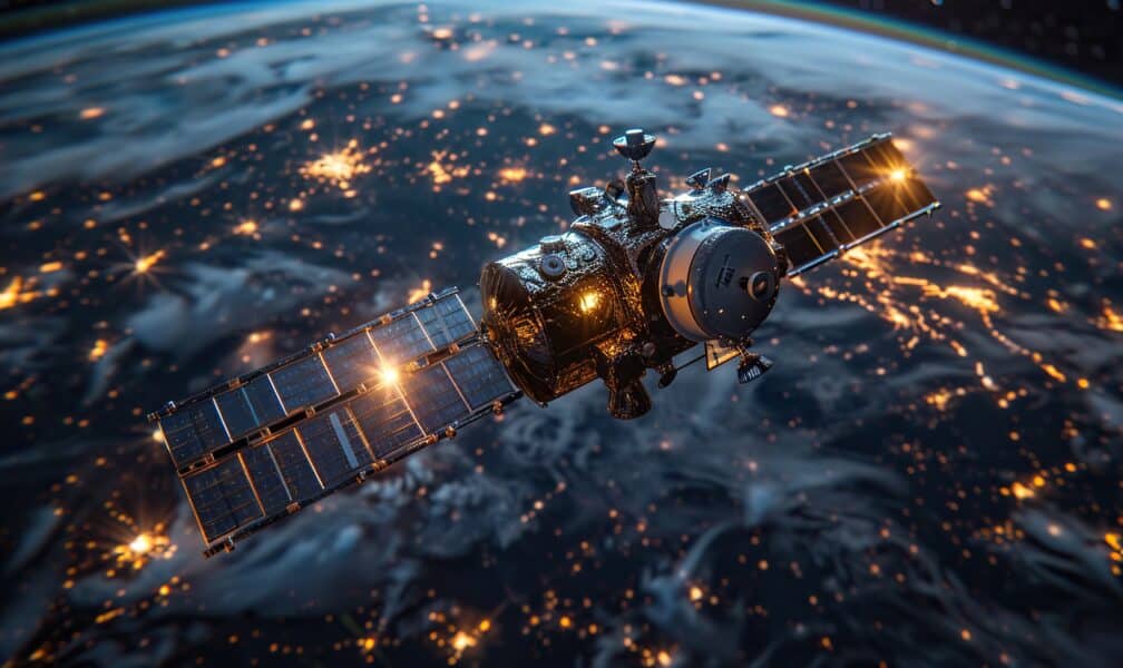
Increased greenhouse gas (GHG) emissions will make it increasingly difficult to maintain satellite operations in low Earth orbit, according to researchers.
CO2 and other GHGs have the effect of ‘shrinking’ the thermosphere, a layer of the upper atmosphere where most satellites currently orbit.
Space debris will remain in the thermosphere for longer, polluting this region and increasing the risk of collisions between orbiting satellites.
Low Earth orbit is becoming increasingly congested, and accurate atmospheric models are essential for predicting the long-term evolution of space debris.
This study highlights the urgent need for international coordination on space traffic management, without which we risk crossing dangerous thresholds.