

A few months after its launch in 2022, the Surface Water and Ocean Topography (SWOT) satellite surprised scientists. While its initial mission was to provide water level measurements to hydrologists and oceanographers, in 2023 it detected a tsunami in the Pacific1. In May 2025, another tsunami was captured by SWOT following an earthquake in Drake Passage, located between the Pacific and Atlantic oceans. “In this remote part of the globe […], in situ seismological and tsunami measurements remain extremely rare. […] SWOT could help to better understand the tectonic features of a poorly known area […],” writes the French National Centre for Space Studies (CNES)2.
Until now, seismometers have been the main instrument used by seismologists, but satellites have recently become valuable allies in the study of earthquakes. In 2001, thanks to satellites, particularly continuous GPS measurements, a completely new type of earthquake was discovered in subduction zones: slow earthquakes. These are earthquakes that last for several days or even months and are completely imperceptible to seismometers and populations3.
More detailed maps
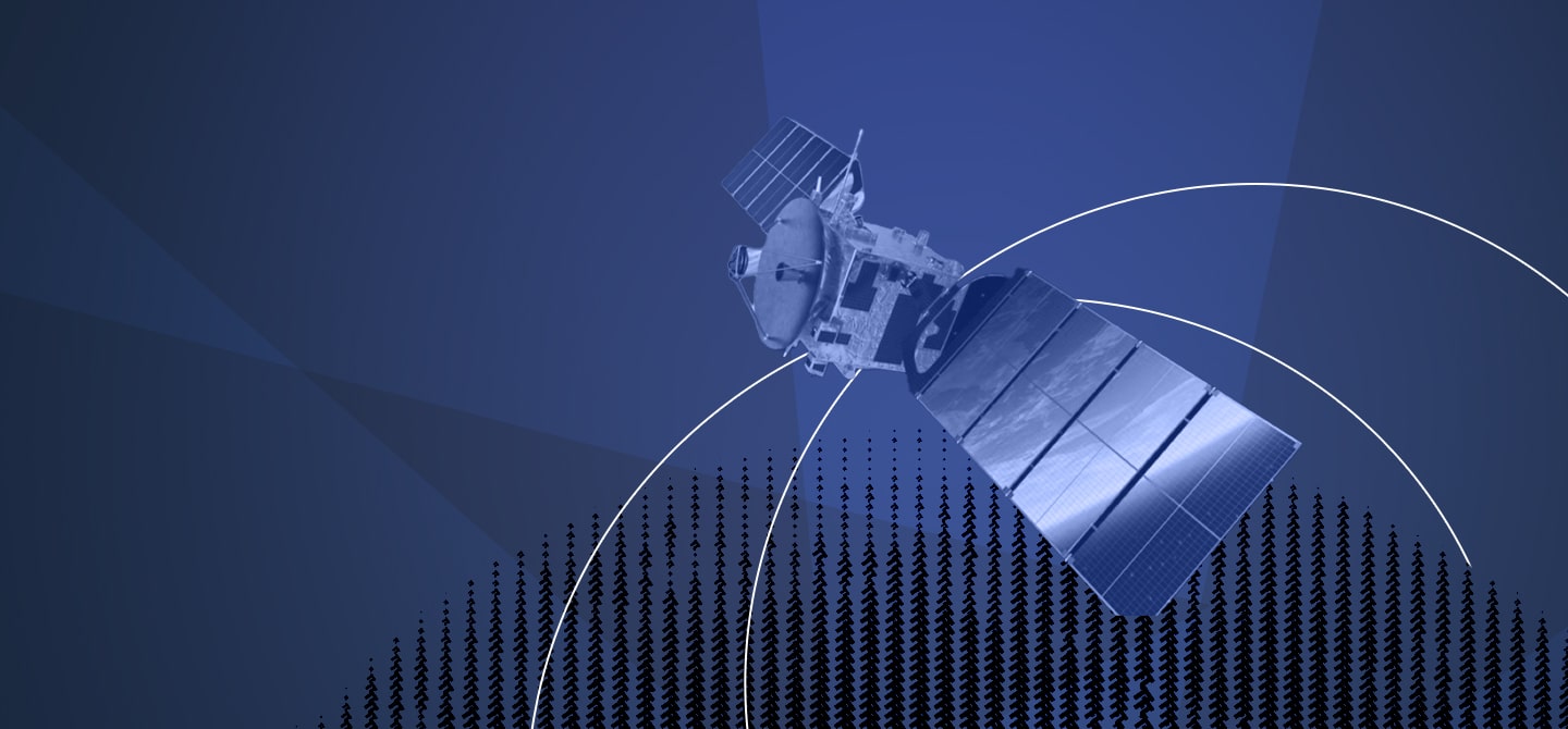
“The quantity and quality of satellite-geodetic measurements of tectonic deformation have increased dramatically over the past two decades improving our ability to observe active tectonic processes,” wrote a British research team in an article published in Nature Communications in 20164. Two types of satellites are used to study earthquakes: Earth observation satellites and positioning satellites, such as GPS.
“Launched in 1972, the Landsat mission offers, for the first time, a view of large fault zones [Editor’s note: where earthquakes originate] on a regional scale,” says Cécile Lasserre, director of geodesy research at the CNRS. “One of the first landmark studies5 was published in 1977. Thanks to these images, the major faults in the collision zone between India and Asia (from the Himalayas to Lake Baikal) were mapped for the first time.” As the resolution of instruments increases with space missions, these optical satellites, which capture images of the Earth like a camera, offer geologists the possibility of making increasingly detailed maps of the fault lines where earthquakes occur.
Scientists are seeking to exploit this space data in different ways. The life of a fault follows a cycle marked by quiet periods interspersed with earthquakes, with ground displacement accumulating over time. Natural features, such as valleys or mountain slopes, can be shifted several kilometres on either side of the fault. Scientists measure these shifts and determine how long it takes for these features to move. It then becomes possible to measure the speed at which faults have moved over the last few millennia, enabling seismic risk to be assessed.
Sub-metre resolution
In the 2000s, satellite instruments entered a new era: they became capable of recording images with a spatial resolution of less than one metre (sub-meter resolution). “Achieving this level of resolution means that, for the first time, we can measure ground displacement during a single earthquake from space, as this is the scale of displacement caused by major earthquakes,” explains Cécile Lasserre. By comparing satellite images taken before and after the earthquake, it is possible not only to map the rupture, but also to quantify the displacement. In 2004, a French team6 provided the first map of the displacements that occurred along a fault during a major earthquake in Tibet in 2001. “It is very difficult to do the same work in the field, as the rupture extended over a length of 450 km!” says Cécile Lasserre. “This data revealed previously unknown complexities and enabled us to improve our understanding of earthquakes.”
Previously, we would set up stations for a few days each year, but now very dense networks have been permanently deployed in certain countries.
To complete the range of satellite instruments used to study earthquakes, we must also mention radar satellites. In 1992, radar images made it possible for the first time to measure the deformation caused by an earthquake, the Landers earthquake in California7. Unlike optical satellites such as Landsat or Spot, radar satellites emit a radar wave that is reflected off the Earth’s surface. By comparing these images before and after an earthquake, it is possible to measure the deformation of the ground. “The latest generations of radar satellites can measure displacement speeds of around one millimetre per year,” explains Cécile Lasserre. “With such precision, it is possible to study the different phases of the seismic cycle: during, immediately after and between earthquakes.”
A better understanding
“At the same time, GNSS measurements have been developed: these are highly complementary to optical and radar imaging measurements,” points out Cécile Lasserre. As explained above, it is thanks to continuous GPS measurements that slow earthquakes have been discovered. The principle is simple: the precise geographical position of a ground-based instrument is measured using dedicated GNSS satellites (GPS and Galileo, for example). This makes it possible to record ground movements very accurately, year after year. “Before, we used to set up stations for a few days each year,” recalls Cécile Lasserre. “Now, very dense networks have been permanently deployed in certain countries.” All this spatial data, combined with field measurements, gives scientists a better understanding of the Earth’s deformation processes, which is essential for reducing the risks associated with these natural disasters8.
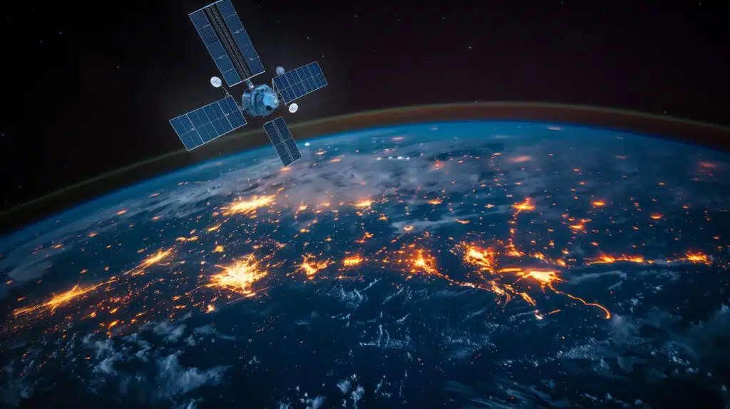
Beyond the purely scientific aspect, satellites are also invaluable for relief efforts during devastating earthquakes. In 2000, several space agencies (European, French and Canadian) created and joined the International Charter on Space and Major Disasters,9. “The role of the Charter is to provide satellite data free of charge during major disasters anywhere in the world,” explains Claire Huber, risk engineer at SERTIT University of Strasbourg. “As an operator, our role is to transform satellite information into maps that can be read by everyone and provide a global view of the event.” When an organisation requests assistance from the Charter, operators programme the satellites into “urgent” mode to obtain images of the disaster-stricken area as quickly as possible. “We map visible damage to buildings, blocked roads and population gatherings,” explains Claire Huber. “This data is very important for deploying relief efforts as effectively and quickly as possible to the most affected areas.” Although they can never completely replace field measurements, satellites have become indispensable for monitoring the planet.