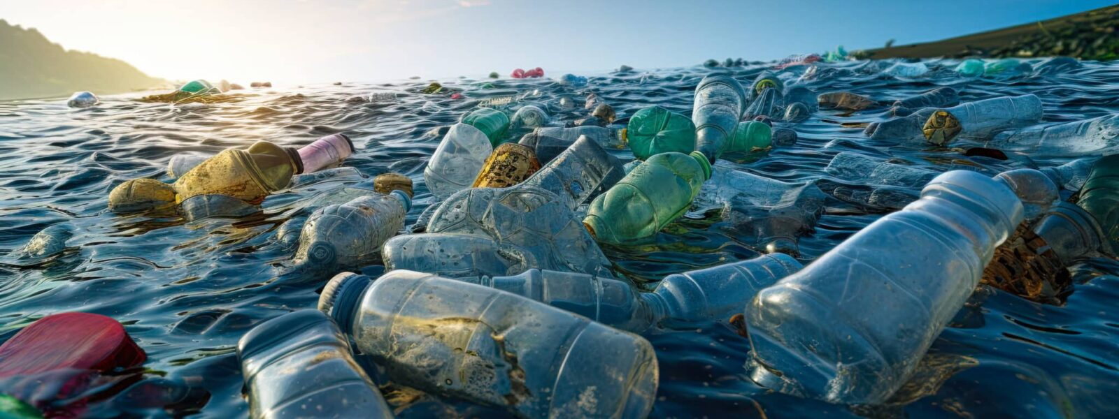
Satellites are detecting plastic pollution in the ocean worldwide


- Between 1950 and 2017, approximately 9.2 billion tonnes of plastic were produced and 7 billion tonnes became waste.
- In 2021, the total amount accumulated in the oceans was estimated to between 75 and 199 million tonnes of plastic, which represents more than 80% of the debris present in aquatic systems.
- Scientists use three techniques to quantify plastic debris and its movements: numerical models, in situ measurements and satellite monitoring.
- Depending on the resolution of the device, satellites can detect plastic clusters with a minimum surface area of 5 m2.
- The “plastics index” is a new indicator based on an object’s reflection in light, which makes it possible to extract the spectral signature of the plastic.
The harmful effects of plastic pollution on human health and biodiversity are well documented. However, last summer, the negotiating committee meeting in Geneva once again failed to reach an international treaty against plastic pollution. This pollution is accumulating in the oceans: 75 to 199 million tonnes of plastic are thought to have ended up in the oceans in 20211, and annual discharges now amount to tens of millions of tonnes. Plastic accounts for more than 80% of the debris present in aquatic systems2. “There is currently no global assessment of pollution in the sea,” laments Audrey Hasson, oceanographer and coordinator of the GEO Blue Planet Initiative. Yet this would enable reduction targets to be set and the effectiveness of prevention policies to be monitored.” For several years now, scientists have been trying to use satellites for this purpose.
Between 1950 and 2017, approximately 9.2 billion tonnes of plastic were produced. Of this volume, 7 billion tonnes became waste. This waste is sent to landfill, enters uncontrolled waste streams or is dumped in the environment. Most of the plastic waste in the oceans comes from land-based sources. Once at sea, it is carried by the currents3. “Without a global view, it is very difficult to find solutions to the problem of plastic pollution,” comments François Galgani. “However, the tools available to provide this global view are very limited, and satellite measurements are one of the few that can do so.”
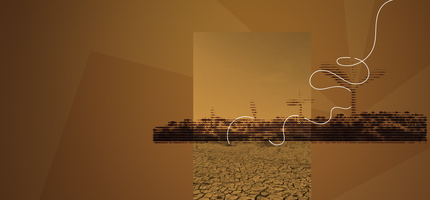
Satellite observation
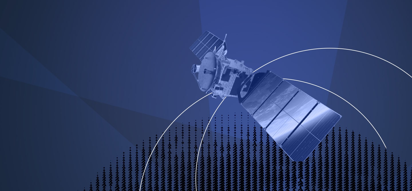
Scientists use three main techniques to quantify plastic debris and its movements4: numerical models, in situ measurements (at sea on board a ship, for example) and satellite monitoring. The use of satellite data to study plastic pollution is a recent development, dating back to the 2010s, and two major studies were published in 2020 56. In the same year, the European Space Agency supported a campaign7 dedicated to measuring marine debris from space for the first time.
In practice, the data used consists of high-resolution images in the visible spectrum, as well as infrared and radar images. “There is no dedicated satellite mission, so we use data from the Sentinel 1, 2 and 3 Earth observation satellites,” explains Audrey Hasson. Studies show that it is possible to detect plastic clusters with a minimum surface area of 5 m2 using Sentinel‑2. “We can only detect large pieces of plastic; the resolution of the detection depends on the resolution of the instrument used,” adds Audrey Hasson. It is therefore impossible to detect individual pieces of plastic, only clusters of debris.
However, the challenge of detecting plastic by satellite is that it is necessary to ascertain the nature of the object observed. How can plastic be distinguished from algae, driftwood or foam? A publication in Nature has succeeded for the first time in developing an indicator: the plastics index. Depending on its nature, each object reflects light differently, a property that can be observed in its spectral signature. Scientists have thus characterised the spectral signature of plastic to distinguish it from other materials in Sentinel images. “Plastics mix with foam or vegetation, so differentiation remains very complicated,” cautions Audrey Hasson. François Galgani, an oceanography researcher at Ifremer, adds: “Today, some detection methods are quite reliable, such as in the case of container losses. We also expect to be able to locate abandoned fibreglass boats, which represent a reservoir of 500,000 to one million tonnes of plastic.”
Mapping hotspots
To date, space-based detection of plastic pollution remains at the R&D stage and no operational applications exist. In a recent study 8[3], scientists show that space-based detection is not widely favoured by the scientific community: among the 46 scientists surveyed, field observations and drone measurement campaigns are the most commonly used techniques, ahead of satellite imagery and GPS tracking.
To overcome current technological limitations, an international team has developed a new analysis method. Their goal: to bypass the difficult step of identifying the nature of the debris. Scientists show that certain types of floating waste clusters (regardless of their nature) that are recognisable by their shape are indicators of recent pollution incidents 9[4]. The team states: “Despite the limitations of space technology, satellite detections are sufficient to map hotspots and capture trends, providing an unprecedented view of marine debris from its source to its final destination.” This data is invaluable for better anticipating pollution peaks and thus limiting them.
Another avenue: launching dedicated satellite missions. “We hope to launch the first nanosatellite from the Desdemone university programme within three years,” says Jérôme Benveniste, President of the Committee on Space Research (COSPAR) and former senior expert in oceanography and hydrology at the European Space Agency. Thanks to this nanosatellite monitoring system, the programme aims to measure the concentrations and flows of macro-plastic waste in the Mediterranean in order to monitor, anticipate and act in near real time, while providing training in space-related professions10. Another avenue is being explored: detecting microplastics by satellite.
“Once the debris degrades, it becomes microplastic and is undetectable by satellite,” explains Jérôme Benveniste. “One of the European Space Agency’s programmes aims to test whether the spectral signature of seawater changes in regions with high levels of microplastics.”