You are the president of the European program EU SST. What does it consist of?
Pascal Faucher. EU SST stands for European Union Space Surveillance and Tracking. It is a civil program managed by a consortium of seven Member States (France, Germany, Italy, Spain, Poland, Portugal and Romania). The fact that the European Commission asks countries to organise themselves to manage and offer a sort of “public service” to all European users is quite unique. With Europe’s new multiannual financial framework and the new Space Regulations, initiated in May 2021, the program will also be renewed. New partnerships are under discussion with 19 other Member States.
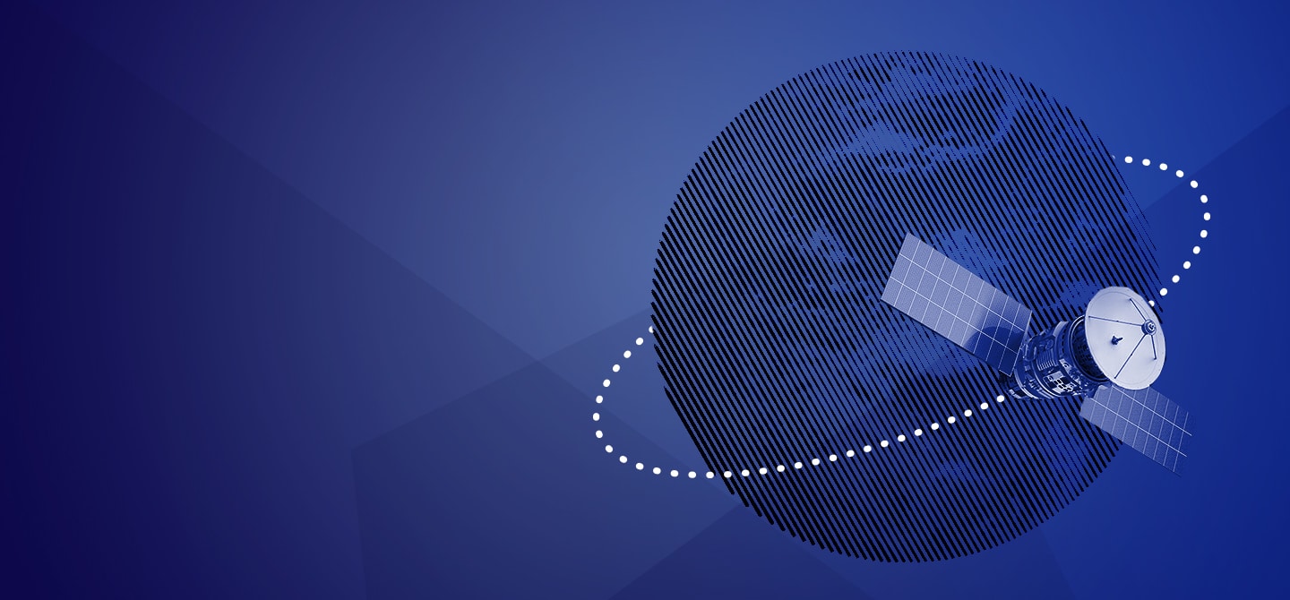
The SST was created to face the increasing risk of collisions between space objects. These risks increasingly threaten economies and European citizens. Indeed, we depend more and more on navigation, communication and observation apps relayed via satellites, which can be seriously damaged by a collision. Just one of these collisions can generate thousands of new debris. The role of the consortium is to provide services linked to security, safety and long-term sustainability of space operations. In other words, we protect our infrastructures in orbit against hazards and intentional threats.
What are your objectives, and what means do you have to carry them out?
We offer several services: evaluation of collision risks in orbit and following return of risky space debris into the Earth’s atmosphere, as well as the detection and the analysis of fragmentation in orbit. To that end, we have a network of around fifty sensors on the ground, radars and telescopes of military, scientific or commercial origin to track objects in space, but also data processing means. The Centre for Operational Orbitography (COO) of the CNES in Toulouse collects data and constantly monitors the orbits of European satellites.
For the past two years, the Member States have been building a common database whose purpose is to share thousands of measures about objects in space on a daily basis.
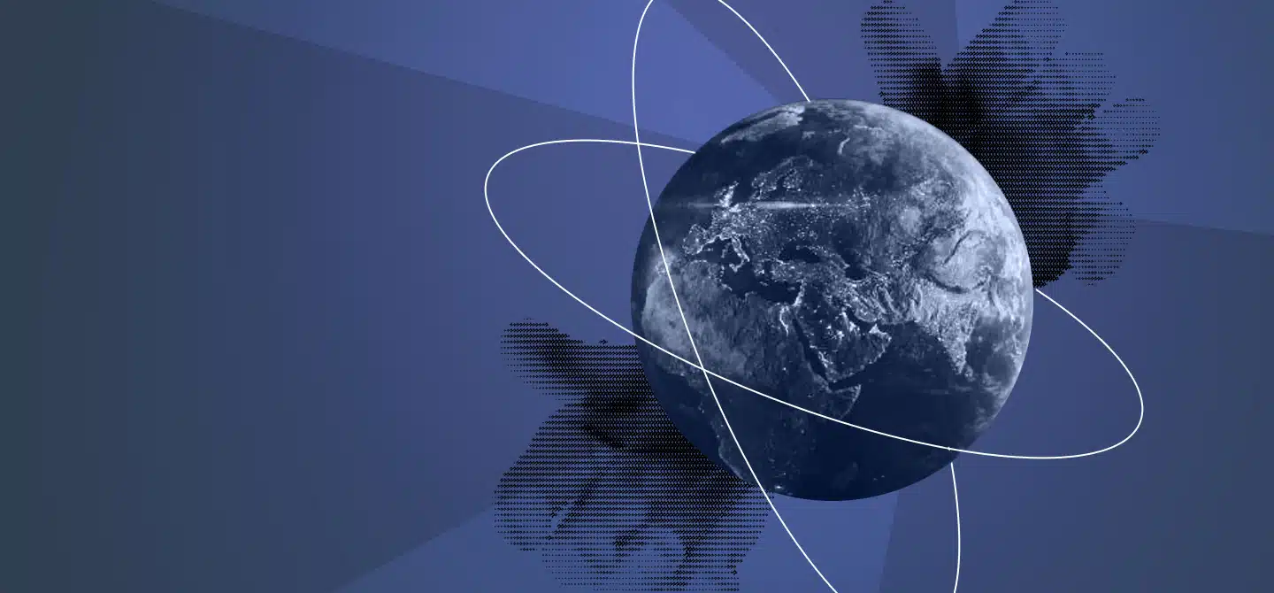
The fusion of these data allow us to catalogue orbital objects. Until now, Europe used a lot of military data provided by the American defence agency, which are a benchmark in that regard. Admittedly, they have invested heavily in this field and for a long time: more than half of the active satellites – civil, military or commercial – are American. One of the objectives of the SST is to raise the capability level and to build a strategic autonomy of Europe in this field, to protect European infrastructures, primarily the flagship projects Galileo and Copernicus and also to offer reliable services to its partners.
And it is beginning to take shape. For example, at the end of February 2021, a collision risk was detected between a Galileo satellite orbiting at 20 000 km and a launcher stage, a space debris. Thirteen sensors of the SST network were activated and confirmed a very strong collision probability. The operator decided on 6th March to manoeuvre the satellite in order to protect it.
How, and by whom, is the decision taken in such cases?
SST offers a service of information: we show operators what is the risk, and where it is found. We calculate the “Time of Closest Approach” and give it to them, it is the moment in which two objects are the closest to one another. We also detect the
“miss distance” and “radial separation”, information regarding the distance between the two objects and the probability of collision, “scaled probability of collision”. Thus informed, they can decide to launch an avoidance manoeuvre or not; if the measure is above the threshold fixed by the operator. A satellite is expensive, costing several €100M, so any responsible operator would prefer to avoid a collision than risk losing a satellite. Furthermore, it is often possible to synchronise the protection manoeuvre of the satellite with the station keeping manoeuvre, which is performed once a month on average.
There is always a great deal of uncertainty. We provide approximations to locate objects, but these are subject to various frictions which means that orbits are never perfectly accurate. That being said, the more we have information, the more we can determine precisely the orbit of a space object. Today, we have 17 million measurements for 9,500 orbital objects.
How frequently are these risks detected?
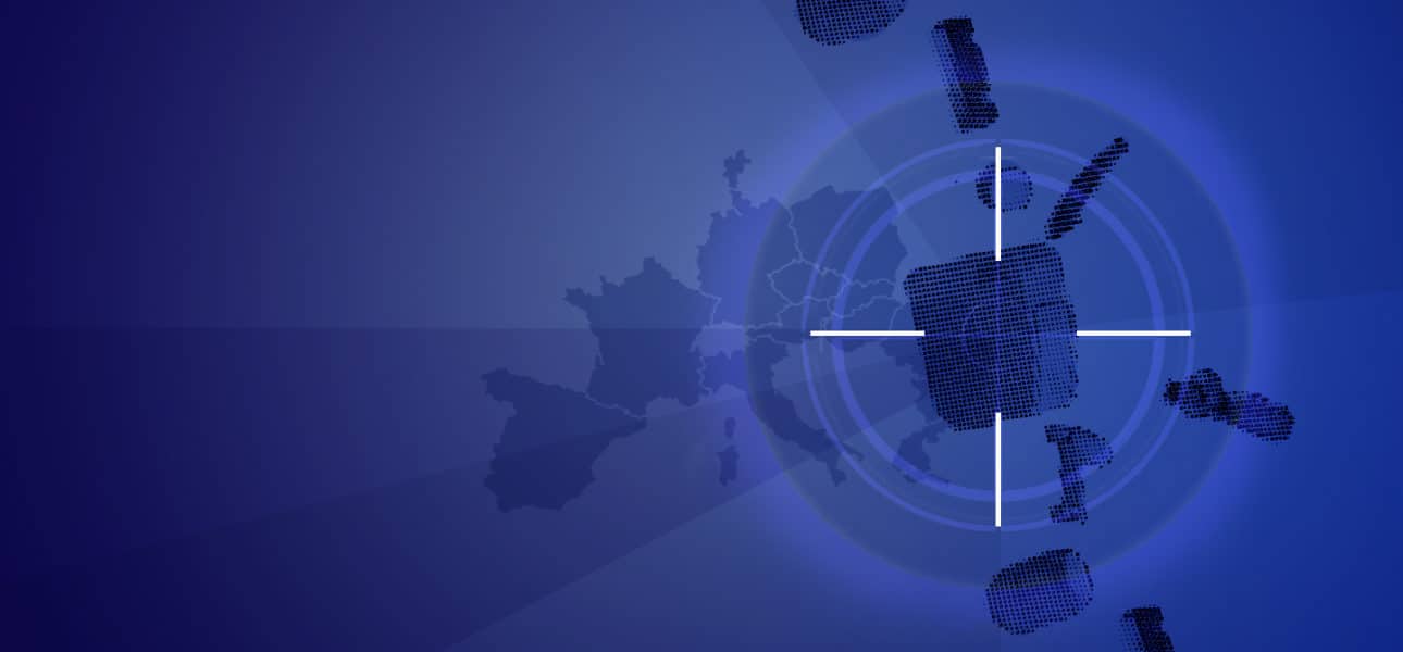
In 2020, for the fleet of 148 satellites we monitored at the time – we now monitor 213 satellites – we detected 377 “high interest events”, namely high security risk events, which led to 31 avoidance manoeuvres. The risks, and therefore the manoeuvres, are very rare in high- or medium-Earth orbits. They are far more frequent in low orbit, where the vast majority of space objects and debris are found, most being due to two major events created thousands of debris in this already congested orbit. Half of collision risks in low orbit are due to debris from the explosion of an obsolete Chinese weather satellite, voluntarily destroyed in 2007 by China with an anti-satellite missile. The second catastrophic event is a collision in 2009 between the deactivated Russian satellite Kosmos and the active American communications satellite Iridium.
Our mission is to ensure the protection of all active satellites. However, the risk sometimes involves inert debris, and we are then powerless. It happened recently. On April 7, we detected a risk in low orbit at 780 km of altitude, between two inert satellites, one Russian and the other American. The collision probability was very high. Finally, on April 9, the two objects brushed against each other, only several metres apart, but did not collide. But they could have exploded and created a myriad of new debris!